Biriciana App
Creating the BiricianaAR app to rediscover the Roman fort in Weißenburg through five stations, including augmented reality content.


Creating the BiricianaAR app to rediscover the Roman fort in Weißenburg through five stations, including augmented reality content.
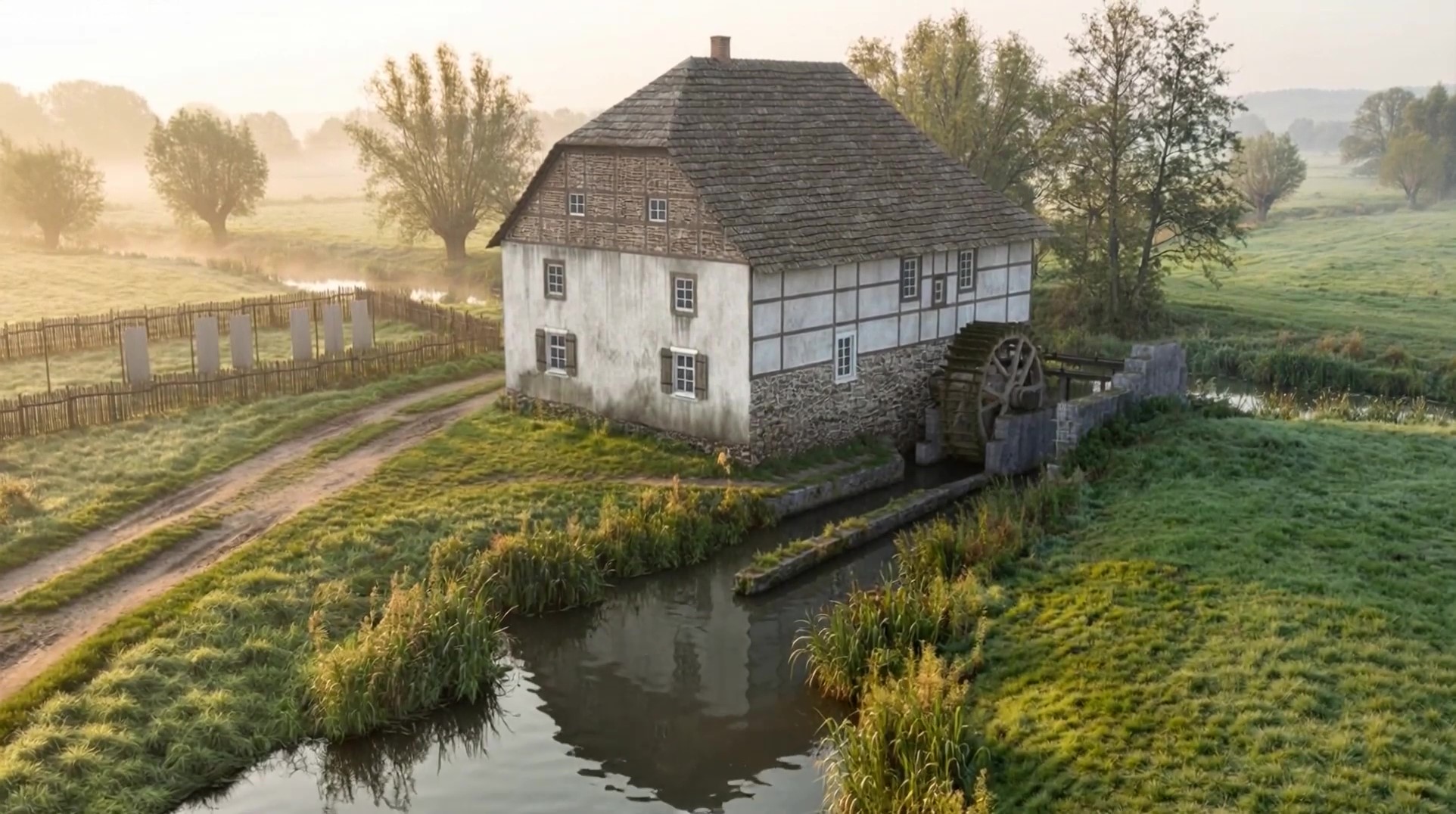
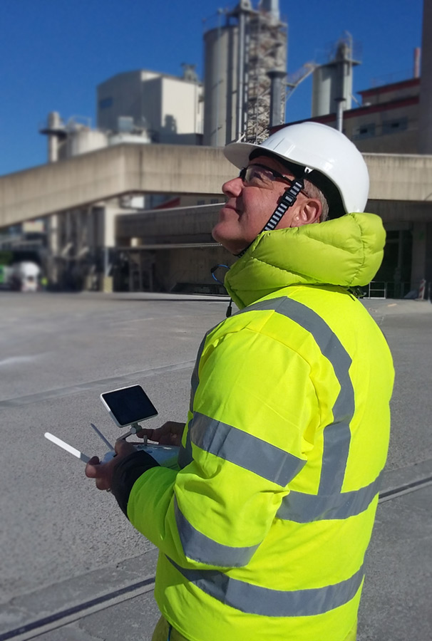
Historical 3D reconstruction of the watermill in the form of an interactive 3D model based on current drone survey data and historical sources
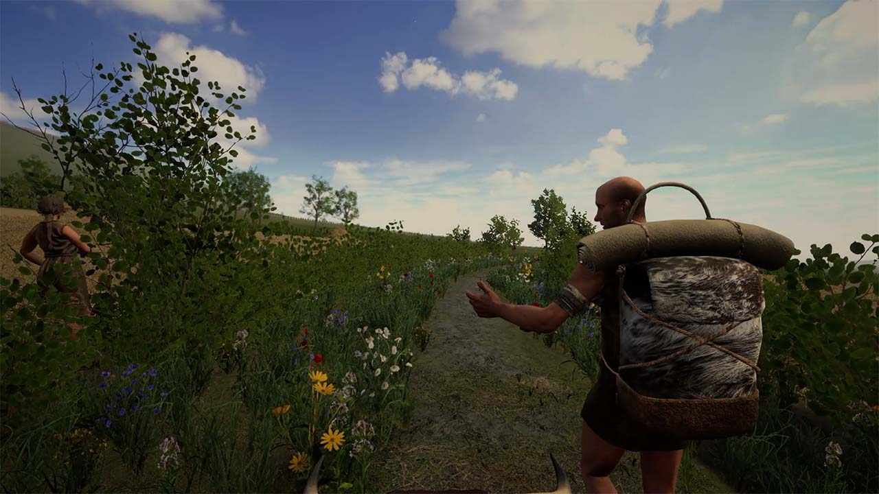
Two VR applications for the Stadtmuseum Hofheim am Taunus provide an immersive insight into Neolithic life on the Kapellenberg.
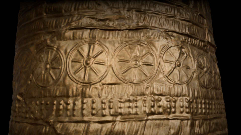
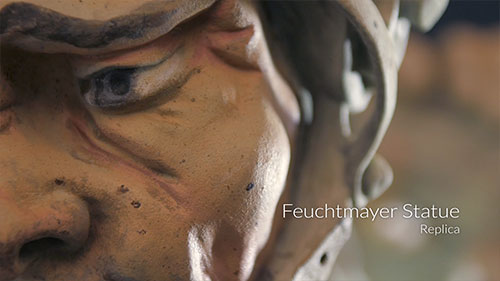
The gold hat from Ezelsdorf/Buch is an outstanding artifact from the Bronze Age. It was discovered in Bavaria in 1953.
Augmented Reality Presentation within the XR SPACE @ MTM23 im House Join from 25. – 27.10.2023 in Munich
Cooperation and research projects with Prof. Dr. Bernd Fröhlich and his top-class team of the “Virtual Reality and Visualization Research Group” at the Bauhaus-University Weimar.
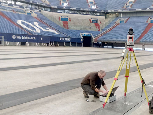
At the congress we will present one of our current 3D projects in detail in a scientific contribution: the comprehensive photorealistic 3D digitization and visualization of the monastery St. Michael in Bamberg.