- Client
- Bamberg District Office
- Content
- App design & programming, graphic production, 3D measurement, web design
- Related topics
- AR Fortress Regenstein
- Keywords
The transnational LEADER project “Cisterscapes” is a European network of 17 partner sites from Germany, Austria, the Czech Republic, Slovenia and Poland. This network is linked by the monastic landscapes created by the Cistercian monks in the Middle Ages. The overarching goal is to achieve the European Heritage Label in 2024. In addition to a trans-European long-distance hiking trail and a wide-ranging educational programme, the development of a joint Cisterscapes app in combination with landscape models that can be set up is the focus.
For this project, our task was to design and develope the app, produce the multimedia content as well as carrying out the graphic production of various landscape models.
Based on the desired content, functions and requirements, a logical concept for the app was created by our team. In cooperation with the client and their design guidelines, a first visual and interactive prototype was created from this basic framework. Only after all contents had been considered and all parties involved were satisfied with the result, the programming process was started on this basis.
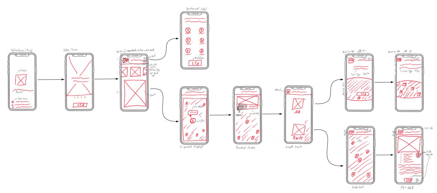
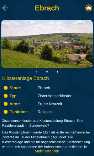
Due to a multitude of requirements we created a complex yet appealing and easy-to-understand application. The app enables digital visits to all 17 Cisterscapes landscapes and provides interesting information on a total of almost 600 elements in the form of text, images and audio. These elements (also called POIs) can be selected via corresponding markers on the maps of the individual Cisterscapes.
The highlight of the app, however, is the use of augmented reality. For six monastery landscapes (the number is increasing!), separate 3D sceneries have been created. The focus here is on the 3D model of each monastery complex of the respective location generated by 3D surveying, as well as other important buildings in the landscape. This representation is rounded off by abstract landscape models such as forests, ponds or quarries as well as by animated objects such as carriages or ships travelling along the Cistercian paths or larger rivers. As on the two-dimensional maps, the individual POIs can also be called up in augmented reality for further information.
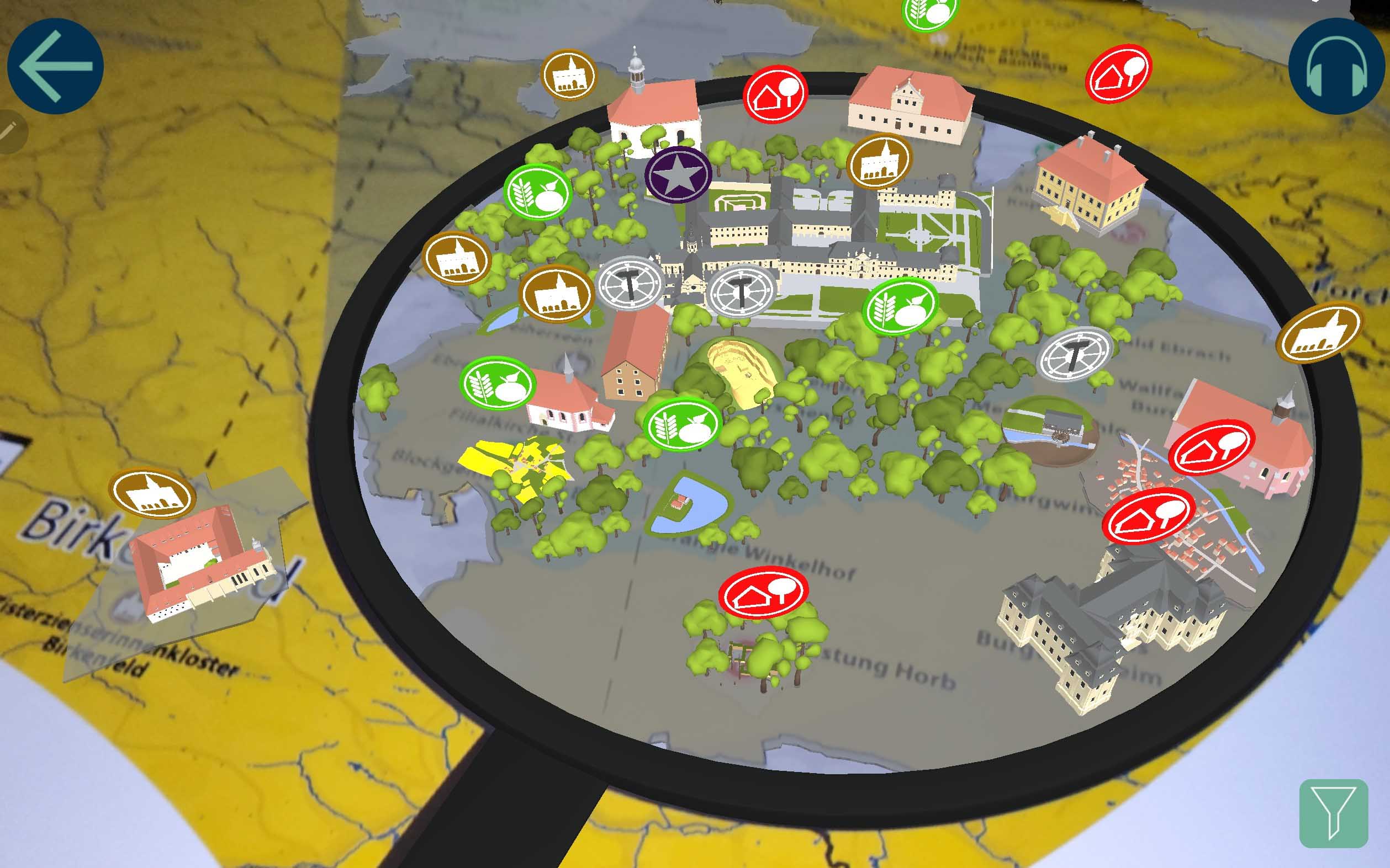
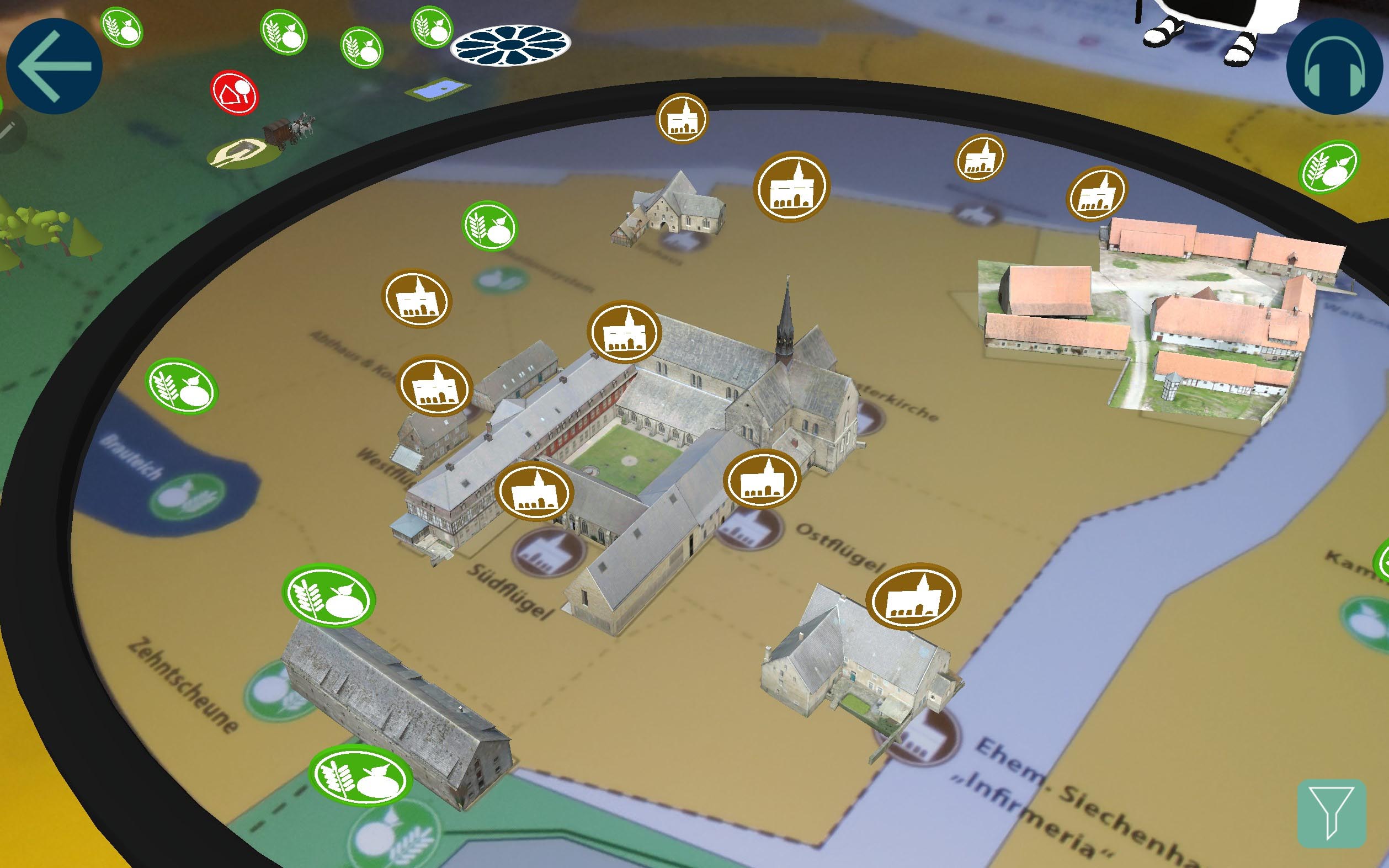
Other important functions include:
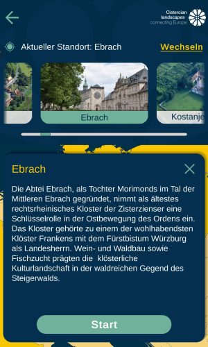
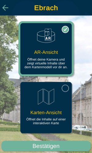
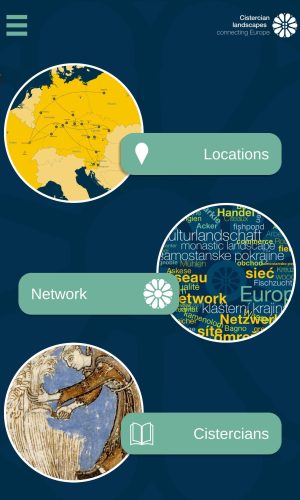
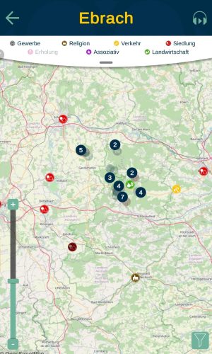
Two to four tablets are attached to each landscape model on which visitors can use the app and view the AR content. In addition, the app is publicly available and free of charge in the Google PlayStore and the Apple AppStore, so that all interested visitors can also install and use the app on their own smartphones.
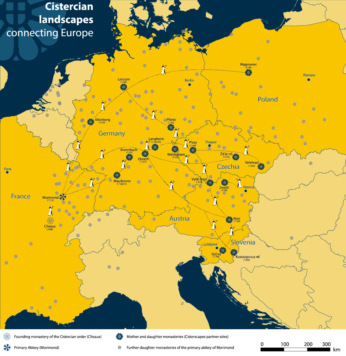
In addition to the development of the app, the production of graphics also played an important role in the project. On the one hand, a map of Europe was designed that shows the locations and expansion of the Cistercian Order. This map is used both digitally within the app and in printed form at the locations of the landscape models.
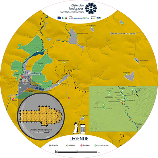
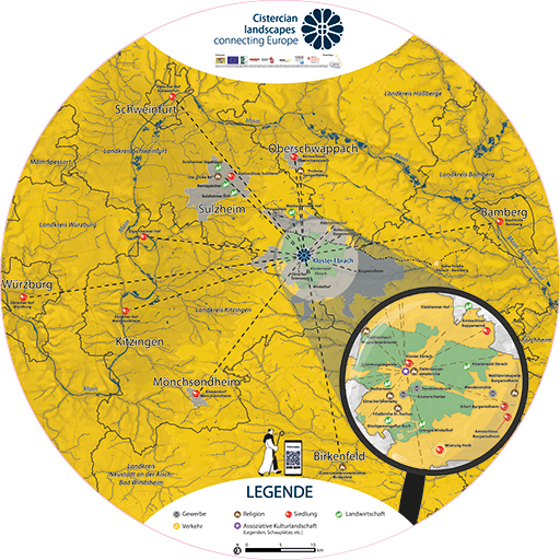
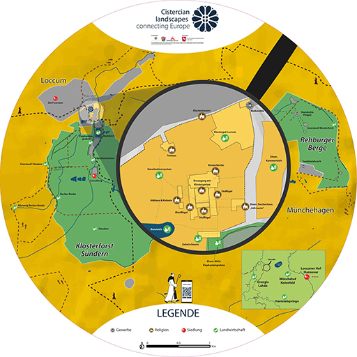
Furthermore, the monastery landscape map for Ebrach was first designed and developed for the associated landscape model. The final design of this map then served as a template for generating further monastery landscape maps of the individual Cisterscapes partners.
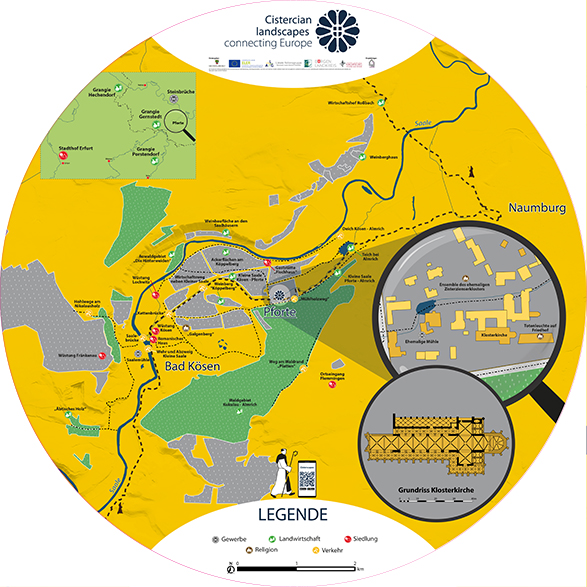
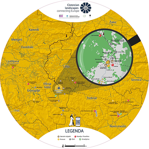
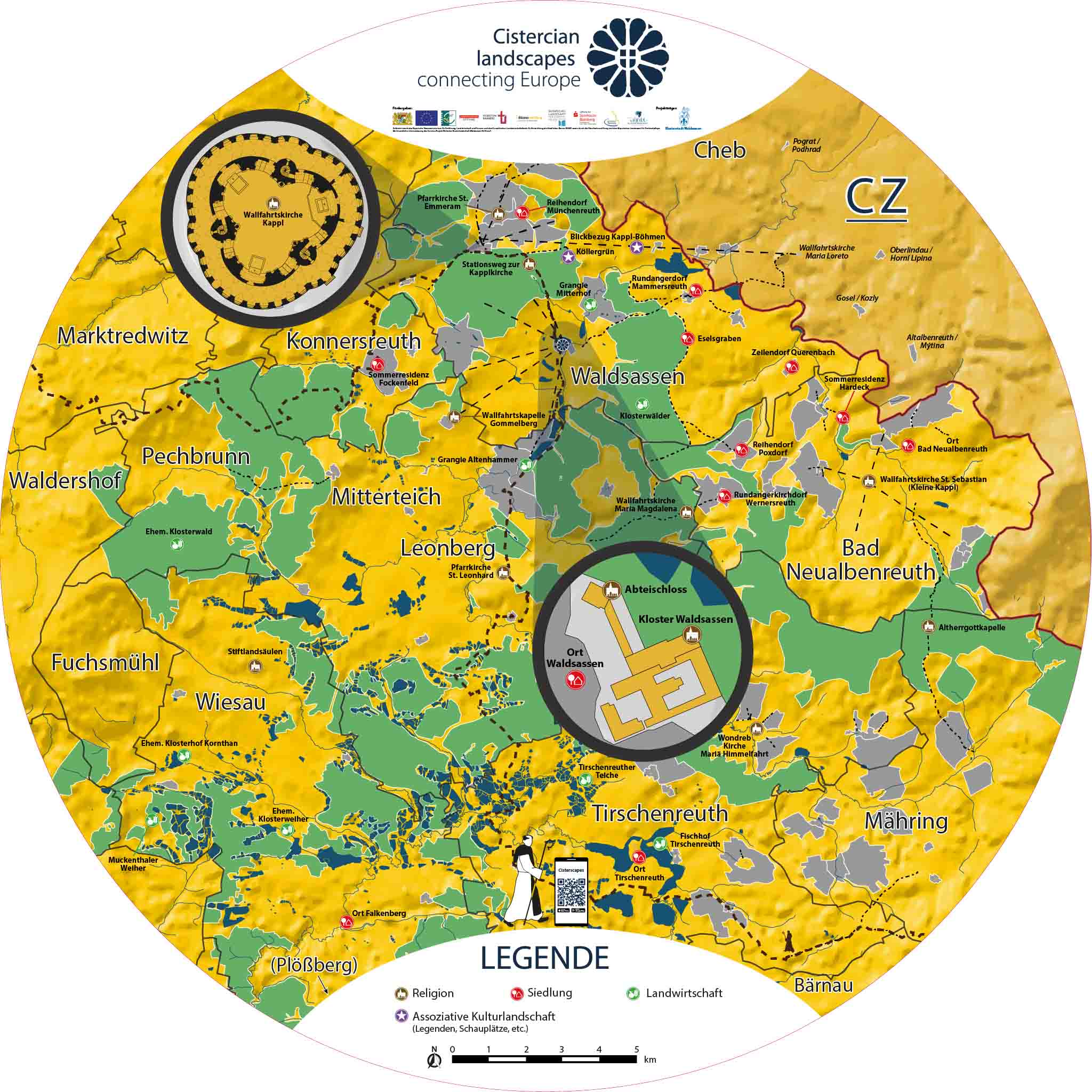
In order to be able to present the created high-resolution 3D models including further information and media to the interested public, we created a homepage to also integrate content as well as further information and media from selected partners. The use of this website intends to motivate more visitors to become aware of the individual monastery landscapes, visit a desired location themselves, download the app and use it on site.
These customer comments have been freely translated from German into English. For the original translation, please change this page to German.