First and foremost, aerial photographs complement survey data collected from the ground. Thus, in the photogrammetric evaluation, these image data complete terrestrial data into complete 3D models! We use drone flight to capture the following 3D documentation:
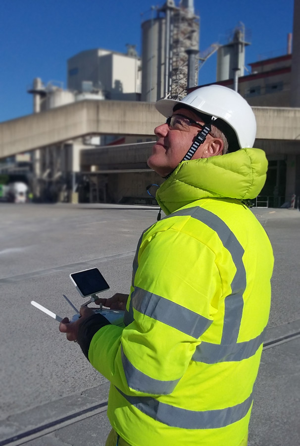
We are quickly on site and carry out the drone aerial survey with powerful photogrammetry camera drones (UAV – unmanned aerial vehicle). The flight duration of our drones is between 15 and 40 minutes, depending on wind conditions and temperature.
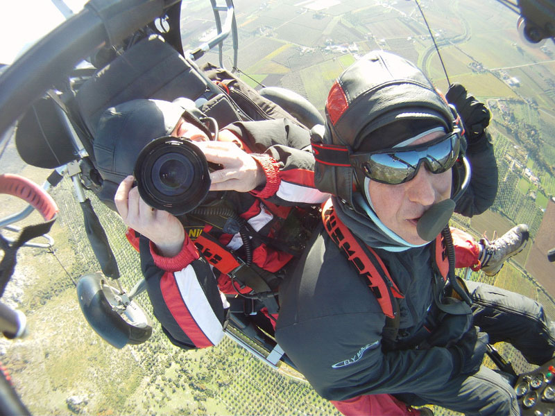
If required, we also use our manned paragliding trike. The flight time is up to 2 hours. A cameraman/woman can fly along as a passenger and concentrate on the recordings. Camera and video equipment can also be installed on the aircraft itself.
Ebrach Abbey is a former Cistercian abbey founded in 1127 in the archdiocese of Bamberg. The selective 3D model shown here was created from a one-day photogrammetric drone flight and shows the historical buildings without the modern buildings of today’s prison. You can see more examples on this page (in German) www.denkmal.arctron.de
For surveying tasks, we travel in a small team with high-tech 3D scanners and surveying equipment (GPS, tachymeter) and carry out 3D as-built surveys on the fly.
The subsequent data evaluation is precisely tailored to your requirements:
Book your professional UAV pilot with over 10 years of experience - call now! Phone: +49 9408 8501-0
Being on site quickly is a prerequisite for excavation documentation in 3D from the air. We are quickly on site for an archaeological survey – because the findings cannot wait!
In the documentation of archaeological excavations, especially in the case of complex urban core or building features, 3D documentation in the combination of drone-supported photogrammetric aerial photo series and supplementary terrestrial 3D surveying is increasingly in demand.
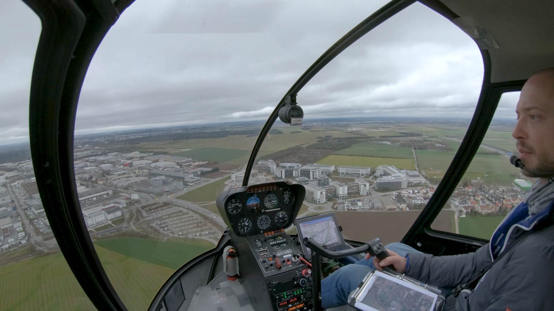
For larger areas or for aerial archaeology, we use helicopters and fixed-wing aircraft. Trust our flying experience for almost 20 years!