For years now, 3D laser scanning has been revolutionizing documentation in archaeology, monument preservation, architecture and industry. 3D laser scanning is superior to previous technologies – especially for recording complex geometries.
By combining different 3D laser scanners, photogrammetric acquisition, mobile scanning, UAV-flying, aerial survey, and airborne laser scanning, we are able to achieve the best possible price-performance ratio for your budget. For any project.
The way we work:
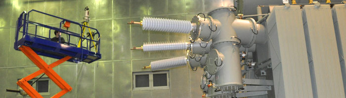
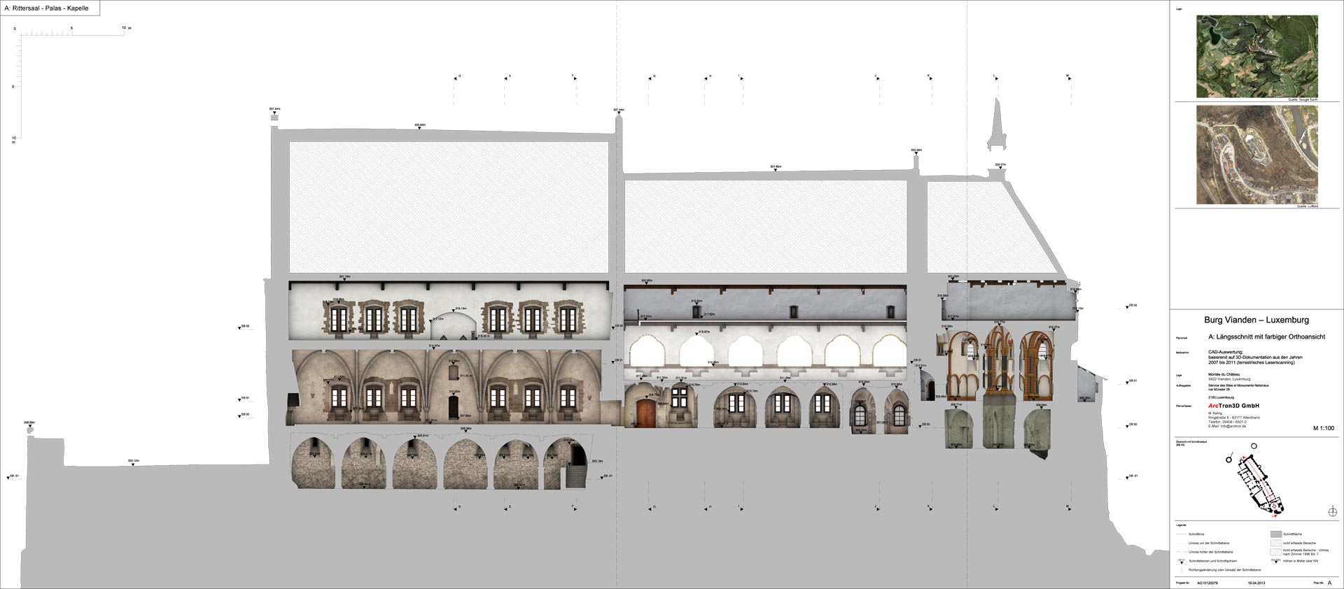
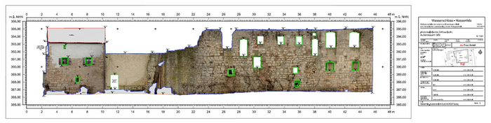
Using the latest 3D laser scanners from Riegl and Leica Geosystems, we are able to capture objects of all types and sizes – from building documentation to facility surveying – quickly and efficiently. Based on this complete documentation, a wide range of results can be derived – from 2D plans and photorealistic 3D models to 3D CAD models.
Measure real estate, scan monuments, photogramme monuments, laser scan industrial halls, calculate volumes by 3D measurement, digitize castle ruins, scan historical buildings, digitize museum pieces, document surfaces in existing buildings in 3D…
We create the suitable approach for your task, from the 3D scan to the desired final result! Just ask us!
Benefit from our many years of experience in 3D measurement data processing from a wide variety of measurement systems. With our extensive software equipment we are able to prepare almost all 3D measurement data and images according to your wishes, to realize even extensive projects in a timely manner.
Our evaluation spectrum includes the following areas, among others:
We will gladly support you with the conception of the project and provide you with an offer that fits your needs!