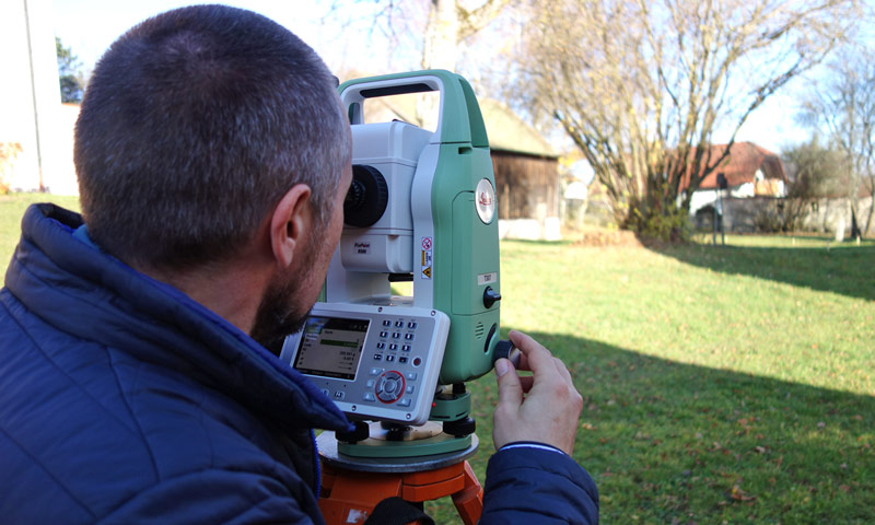
Tacheometry and GPS
Our total stations and GPS-systems by Leica Geosystems are deployed in various kinds of projects:
- digital excavation documentation for recording findings and photogrammatic control points
- fixed point determination and traversing
- recording of reflectors for 3D laser scanning
- construction surveys and surveys for laser scanning projects and much more…

As a Leica distributor, we not only use tachymeters of the TS series as well as Leica GPS devices for surveying work, but also sell them with a comprehensive support service.