We take aerial photos and document research areas, monuments or excavation sites comprehensively and in high resolution with a single survey flight.
As additional options, we can now also offer you other multisensor technologies depending on the project:
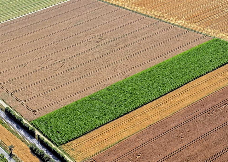
ArcTron – Airborne Sensing GmbH, with aerial archaeologist Martin Schaich, has been carrying out archaeological flights in the southern part of Baden-Württemberg since 2016. The project is part of a flying assignment commissioned the State Office for the Preservation of Historical Monuments at the Stuttgart Regional Council. On one hand, the focus is on the discovery and 2D and 3D documentation of new archaeological features and monuments. On the other hand, Schaich is continuously taking the opportunity to fly a few extra circles around historical buildings in order to document them fundamentally in three dimensions. Thus we were able to provide sufficient image material to calculate also many castles in Baden-Württemberg.
Visit these interactive 3D castle models on Sketchfab:
For a relevant reference, visit the "small but nice" homepage about the airborne documentation on the denkmal.arctron.de website: