- Client
- Municipality Scheidegg; Office for Economic Development, Climate and Environmental Protection
- Content
- 3D modelling, graphic design, app development & programming, web design
- Related references
- AR Fortress Regenstein
- Tags
The Scheidegger Waterfalls in the Allgäu are not only a tourist highlight of the region. They are also one of the hundred most beautiful geotopes in Bavaria, which can also be actively discovered as an “experience nature” area. Among other things, the “Scheidegger Waterfalls Geo-Experience Trail” was opened here in 2021 as part of the State Garden Show. The educational trail explains at a total of seven learning and experience stations how the Scheidegger Waterfalls were formed and what makes the geology of the region so unique.
To expand the analogue station content with digital content, the ArcTron 3D team has developed the mobile app “Scheidegger Geopfad”.
Upon entering the park, visitors have the opportunity to download the app and install it on their smartphone.
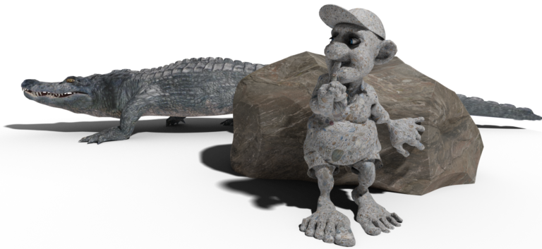
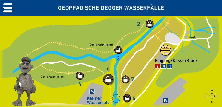
Right at the beginning, the app mascot Steiny introduces himself and invites users to look at the content of the first station.

At each station on the adventure trail, one or more information boards are set up, which were also designed by the ArcTron 3D team. In addition to interesting information on the topic of the respective station, the sign also serves as an AR marker. When scanned with the app, it triggers a digital content.
In the first station, for example, the changes in the Allgäu over the last 90 million years are shown in animated augmented reality. After successfully completing the first content, the next station is unlocked on the map in the main screen of the app. For each new station, the user has to walk along the geopath to the next station.
This combination of real and virtual stations creates a lively hybrid visitor experience. As the trail continues, a school board fills with magical content; a 360° panorama showing the formation of the Riedbach stream; long-extinct prehistoric animals placed and photographed in the environment with the help of augmented reality; and much more exciting and interesting digital content follow.

The combination of movement in nature, the experience of a natural spectacle, visual and haptic information and multimedia knowledge transfer makes the Scheidegger Waterfalls Geological Trail a very special and multi-layered excursion destination.

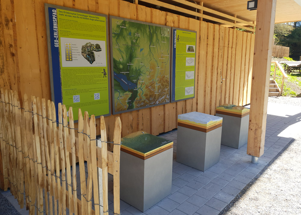
For the first station, the production of a 150x150cm flat relief (also known as High Resolution Print) with 5mm relief depth incl. legend and inscriptions was made.
This overview map of the Allgäu and surrounding area also serves as the first AR marker on the Scheidegger Geopfad. Here, the changes in the Allgäu over the last 90 million years are animated in augmented reality in four time epochs.
In front of the relief map are three block landscape model prints out of concrete, including texturing and terrain painting. They also represent different epochs of the Allgäu’s geological history. Here, too, interesting AR content can be discovered with the app.
The creation of the three landscape models is shown in the following video:
Parallel to the extensive app development and the graphic production of the information boards, an accompanying homepage was also created. In addition to further information about the park, the geological trail and the individual stations, additional media content is also available there. For example, the Scheidegger Waterfalls can be discovered on the website in all four seasons in the form of pictures and short videos.
Visit the project page and tune in to this exciting information and nature experience: https://scheidegger-geopfad.de