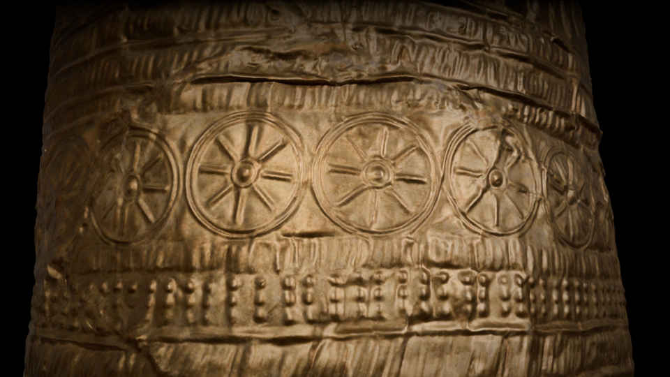
Gold hat
The gold hat from Ezelsdorf/Buch is an outstanding artifact from the Bronze Age. It was discovered in Bavaria in 1953.
3D surveying with optical measurement systems (from object surveying, photogrammetric imaging, terrestrial, mobile and airborne laser scanning, UAV flight, etc.) is at the heart of the process chain, which is carried out by the extensive ArcTron team of experts.
The team of engineers and technicians processes the 3D data into elevation and terrain models, creates digital, photorealistic 3D models and CAD plans, aerial photographs and more.
3D designers integrate these data into simulation and real-time platforms, film projects, app developments, 3D (museum) applications, in holograms and high-quality virtual reality / augmented reality solutions or prepare the data for the in-house model building department. Using 3D printers, CNC milling machines or casting moulds, exhibition models in various sizes and materials are produced in museum quality. Discover what ArcTron 3D can do for you by sufing the following pages…

The gold hat from Ezelsdorf/Buch is an outstanding artifact from the Bronze Age. It was discovered in Bavaria in 1953.
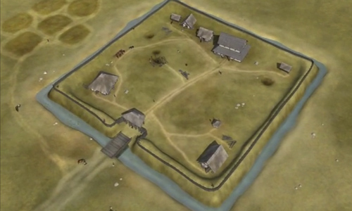
Archaeological investigation, post-exact 3D reconstruction presented in film format and creating a landing page
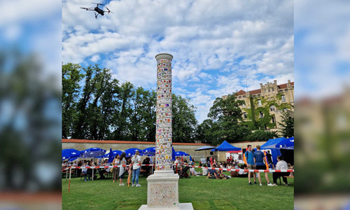
Digitization of the Peace Column in 3D in high resolution and creating a landing page incl. interactive 3D model and small augmented reality application
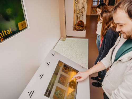
Media station for visitor information Beamer projection with interactive topic selection via touch display Back to the references Multimedia overview of the attractions in the
Augmented Reality Presentation within the XR SPACE @ MTM23 im House Join from 25. – 27.10.2023 in Munich
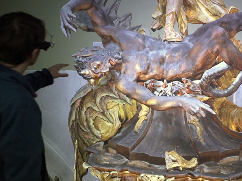
Cooperation and research projects with Prof. Dr. Bernd Fröhlich and his top-class team of the “Virtual Reality and Visualization Research Group” at the Bauhaus-University Weimar.
At the congress we will present one of our current 3D projects in detail in a scientific contribution: the comprehensive photorealistic 3D digitization and visualization of the monastery St. Michael in Bamberg.
* original quotes translated from German to English