- Client
- Stadt Regensburg, Historisches Museum Regensburg
- Content
- 3D landscape model milling, generating projection content, AR application programming
- Related references
- Interactive Applications
- Tags
The over 66 hectare archaeological excavation area of the new development area “Burgweinting Nordwest”, revealed outstanding findings. These ranged from the Neolithic to the Roman period and into the early Middle Ages. The large-scale excavation has been running since 1994.
The city of Regensburg is now showing a large special exhibition “Traces of the millennia – 25 years of archaeological large-scale excavation of Burgweinting” at the Historical Museum at Dachauplatz, Regensburg. The exhibition opened its doors to the public on September 21st, 2019 and runs until June 2020.
The countless finds and findings on display there, the long-term restoration and scientific evaluation of which was carried out at the Bavarian State Office for Monument Preservation and the Historical Museum, had been varified during 25 years of excavation activity in the excavation area.

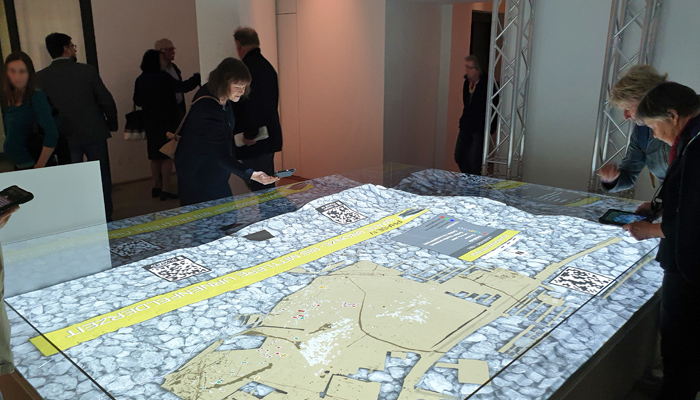
Commissioned by the city of Regensburg, the archaeology and multimedia specialists at ArcTron 3D made an innovative contribution to this exhibition. ArcTron was responsible for the conception, implementation and software development for a central exhibition object, the large projection terrain model and the combined Augmented Reality APP.
The 3.2 x 2.3 m CNC milled 3D landscape model of Burgweinting was produced using airborne laser scan data. Coloured excavation maps were precisely projected on top of the landscape model showing various archaeological periods with thousands of documented findings of the different time stages. The different projected phase plans can be selected via a touch display.
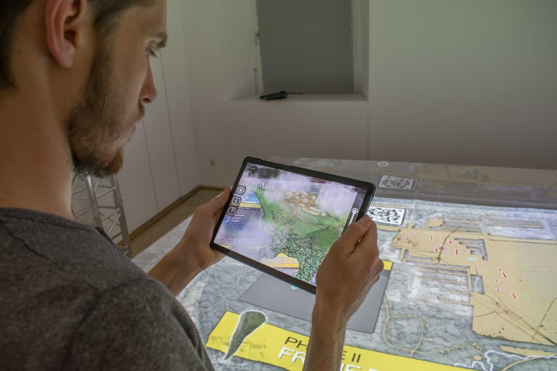
Using your own tablets and smartphones or the devices at the museum, it is possible to call up additional AR information such as reconstruction proposals for the respective settlement landscapes, houses typical for that period of time, finds and findings as well as background information on the terrain model.
This application was implemented with “Augmented Reality” software programmed by ArcTron – i.e. an APP that displays graphical and text information through the camera image of the “Smart” device in form of extended reality.

Visitors can use the tablets available in the museum or download the APP onto their smartphone free of charge.
The different landscape models are visualized on the basis of scientific archaeological research results. Visitors can discover Early Bronze Age longhouses, Late Bronze Age and Urnfield settlements, Early Latène, Iron Age settlements and Roman estates.
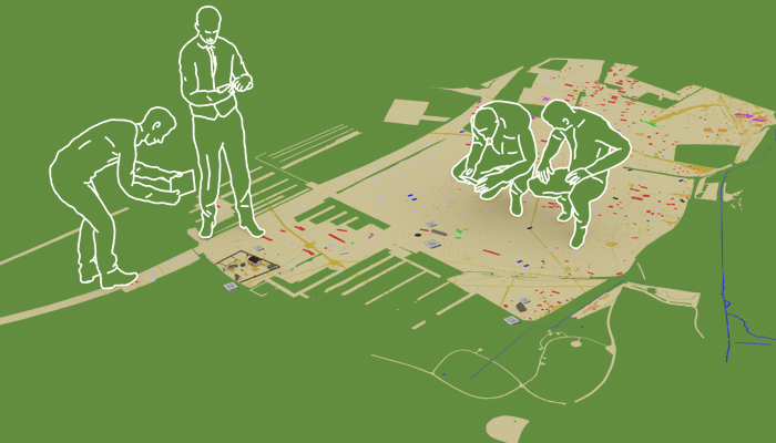
In the exhibition room there is also a “photo floor” with a huge excavation map. Some selected augmented reality contents are also integrated here, which allow text and images as well as building reconstructions to be viewed via a mobile device.
The way to Regensburg is too far? Then download the app with the corresponding maps and learn about the Burgweinting excavation …
The software development- and 3D multimedia team of the ArcTron 3D company, specializing in archaeology, monument conservation and the preservation of historical buildings, combined extensive data using digital projections onto a 3D-milled landscape model with AR applications. The complex project was realized within a few months and shows how archaeological excavations can be presented in an exciting and modern way.
